AgReliant recently published an article, “Aerial Imaging: A Game-Changer in Crop Management,” featuring an Illinois farmer and AGMRI user.
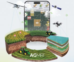
Aerial imaging with drones or aircraft is becoming an essential tool in crop management, offering significant benefits for large-scale farmers. Brian Rinderer uses aerial imaging to monitor his fields 24/7, allowing him to identify issues in real time and make more timely decisions efficiently. Applications of aerial imaging, such as NDVI (Normalized Difference Vegetation Index) maps, can detect issues like uneven plant populations or potential equipment malfunctions. This clarity allows for early interventions that can prevent further losses and improve the profitability of the crop.